People ask me why I fight so hard for our life here in Martin County. It’s because we are different. Yes, there has been some changes since I moved here and there are some things coming I’m not ok with but for the most part the people who live here really care about our county and our way of life.
This is one of the first places I visited when I moved here.
The House of Refuge at Gilbert’s Bar is the only remaining House of Refuge. It was built as one of ten along the east coast of Florida, it is the oldest structure in Martin County and is listed on the National Register of Historic Places.
The Houses of Refuge were designated as havens for shipwrecked sailors and travelers along the sparsely populated Atlantic coastline of Florida. Run by the United States Lifesaving Service, the Houses played a critical role in a time when sailing ships dominated the world commerce.
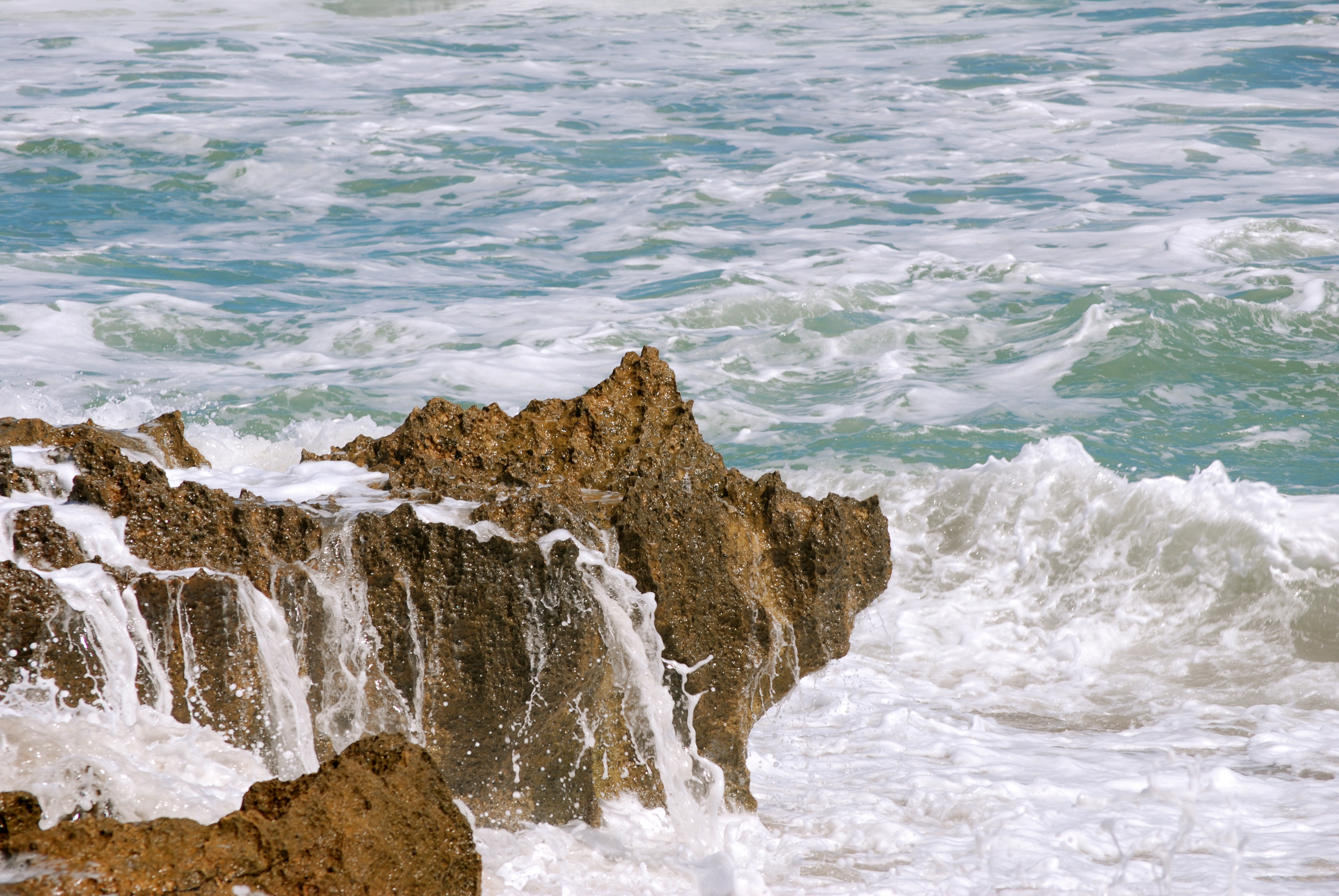
This week we have big waves and big tides. We had the full blood moon and we have Hurricane Joaquin out there.
Yesterday was the first gorgeous day after a long, hot summer so I went down and took some photos.
The House of Refuge is located at 301 Southeast MacArthur Blvd, Stuart, FL
“The Kissimmee Basin encompasses more than two dozen lakes in the Kissimmee Chain of Lakes (KCOL), their tributary streams and associated marshes and the Kissimmee River and floodplain. The basin forms the headwaters of Lake Okeechobee and the Everglades; together they comprise the Kissimmee-Okeechobee-Everglades (KOE) system. In the 1960s, the Central and Southern Florida Flood Control (C&SF) Project modified the native KOE system extensively throughout South Florida, including construction of canals and water control structures to achieve flood control in the Upper and Lower Kissimmee basins.
Major initiatives in the Kissimmee Basin are the Kissimmee River Restoration Project (which includes Construction Projects), the Kissimmee River Restoration Evaluation Program, the Kissimmee Basin Modeling and Operations Study and the Kissimmee Chain of Lakes Long-Term Management Plan. A number of activities are associated with these projects, including ecosystem restoration, evaluation of restoration efforts, aquatic plant management, land management, water quality improvement and water supply planning.”
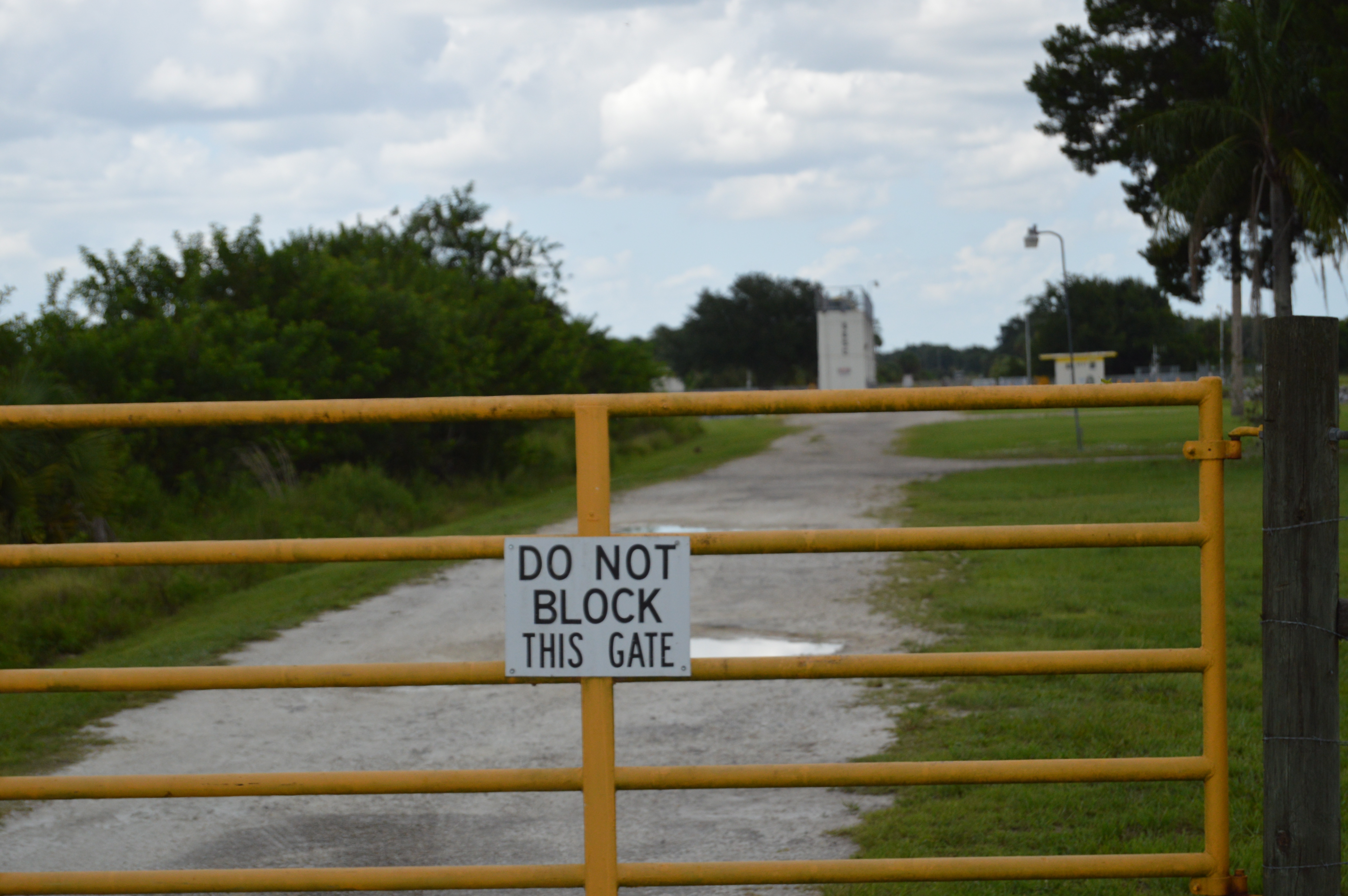
We ended up here.
Whoops.
Then we ended up here .
It was one of those “It’s got to be here somewhere!”
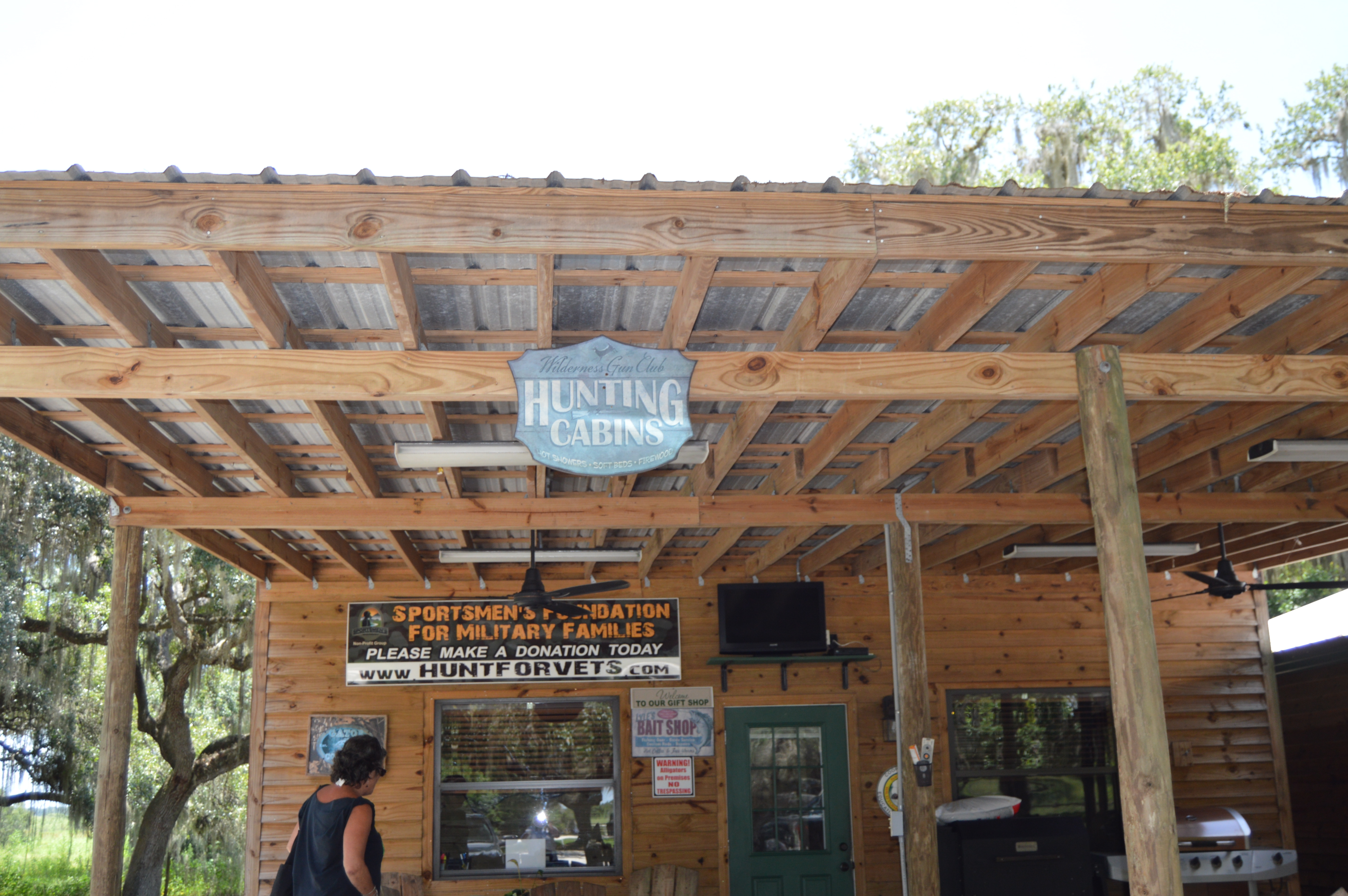
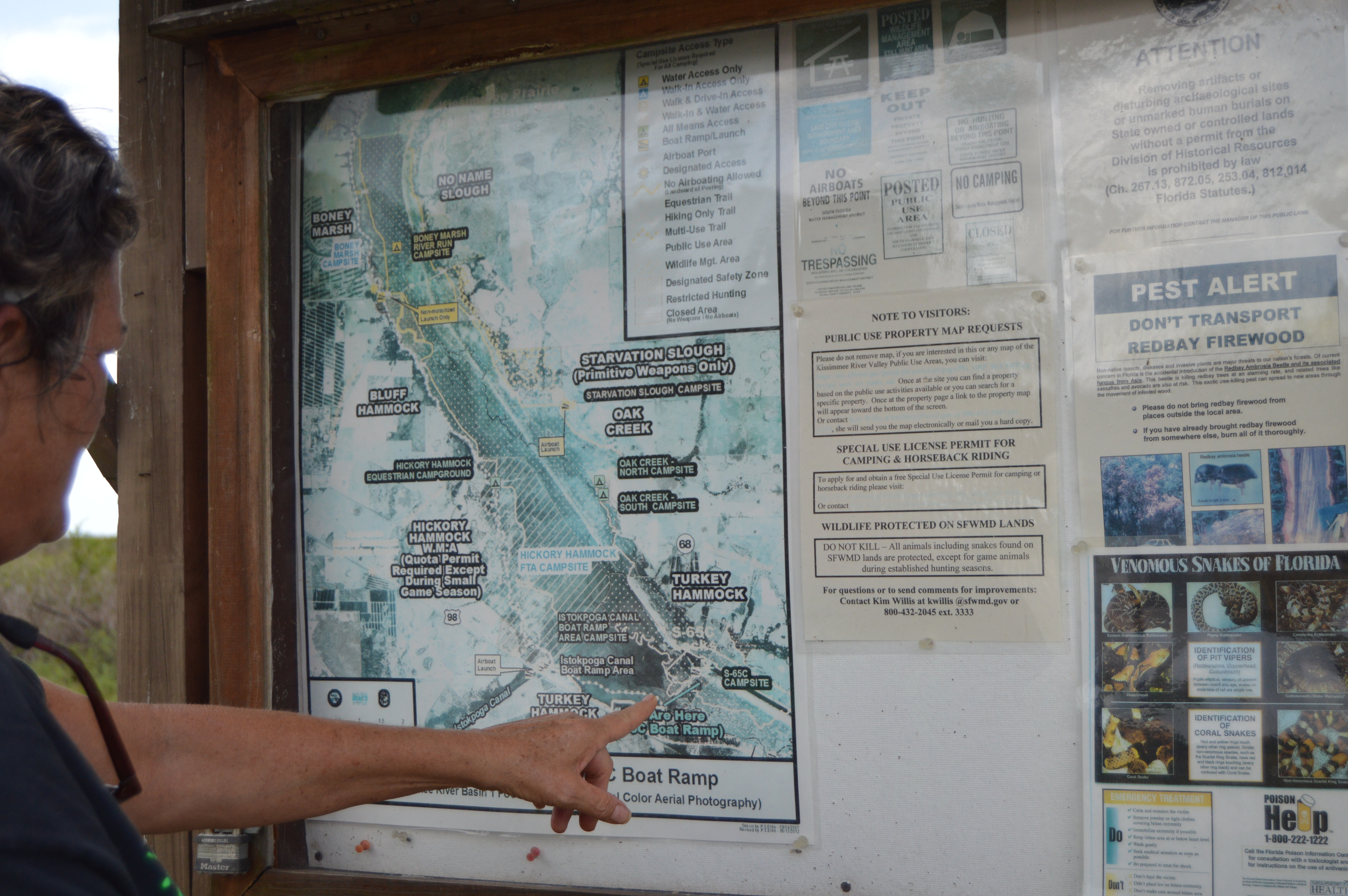
Then we found this
You are here!
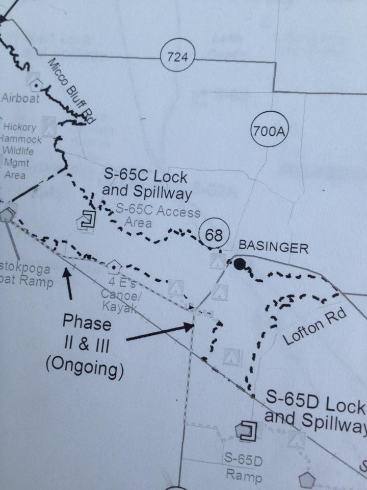
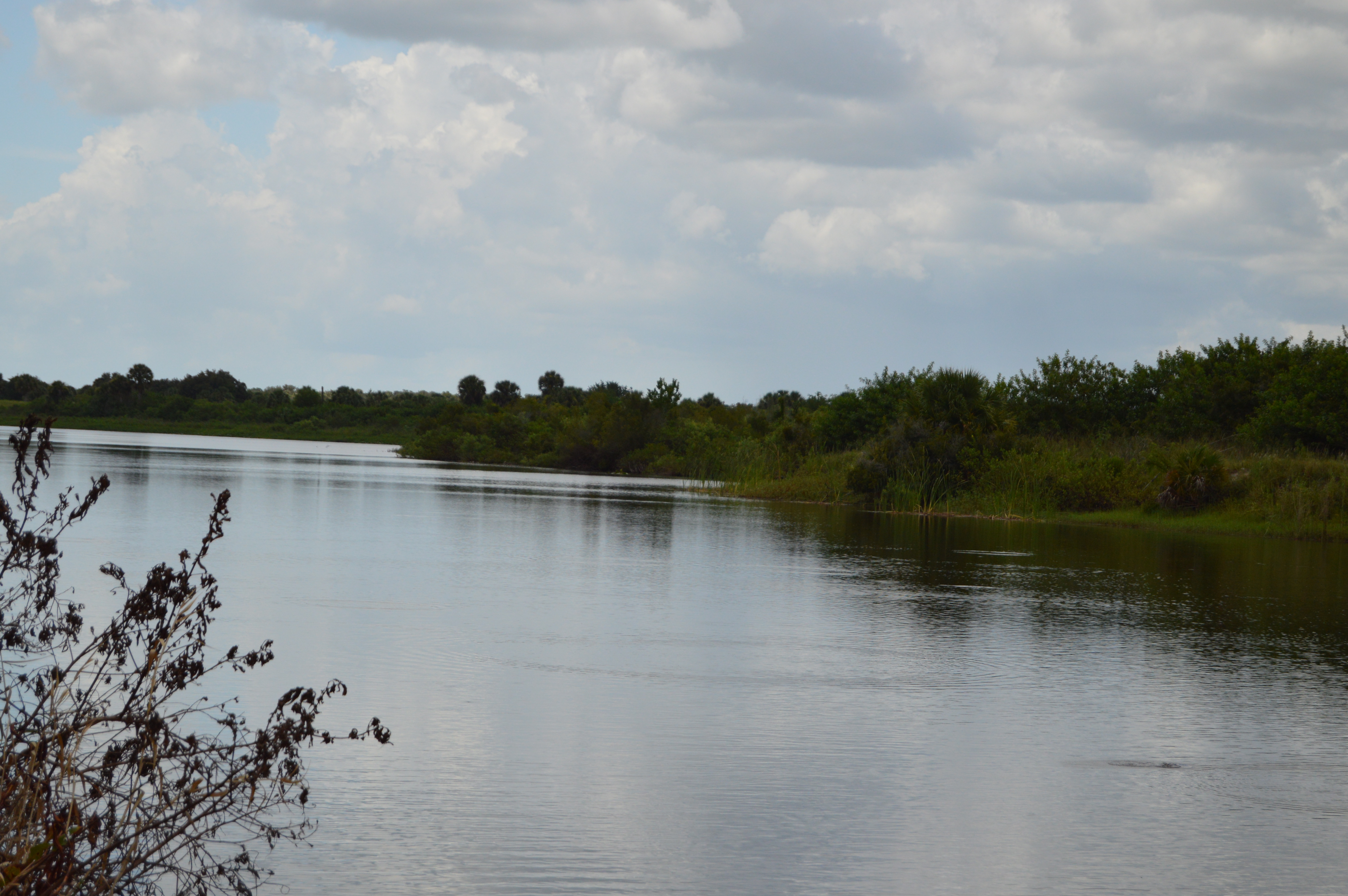
We were disappointed that you could not walk out on the lock.
and a little down the road heading south you can put in with your canoes or kayaks.
“The very northern end of the Kissimmee River Basin is primarily urban and includes a small portion of the city of Orlando, three large theme parks (Walt Disney World, SeaWorld, and Universal Studios), Orlando International Airport, and the cities of Kissimmee and St. Cloud. There are some pockets of residential development along the Lake Wales Ridge (in the cities of Lake Wales, Avon Park, Sebring, and Lake Placid) and a military installation (Avon Park Air Force Range). However, agricultural lands (citrus groves, cattle ranches, caladium fields, and sod farms) as well as wetlands and upland forests dominate the remainder of the Kissimmee River Basin and all of the Fisheating Creek Basin.”
So every time someone flushes a toilet at Mickey’s a seahorse dies in the Indian RIver Lagoon.
It was everything I imagined except for the lock part. If we have Locks that go down the river why do we need water storage and farming to hold the water back?
I tried to find a map but I couldn’t but I did find this. I found four locks.