River Science: Lesson 1 The C44 Reservoir
Guest video blogger: Kenny Hinkle Jr
Here’s a little science lesson by my talented friend Kenny Hinkle Jr. from over at Bullsugar.
River Science: Lesson 1 The C44 Reservoir
Guest video blogger: Kenny Hinkle Jr
Here’s a little science lesson by my talented friend Kenny Hinkle Jr. from over at Bullsugar.
Florida Back Roads: Kissimmee River Restoration
Ever since I’ve been involved with water issues I’ve heard about the restoration of the Kissimmee River.
https://en.wikipedia.org/wiki/Kissimmee_River
The Kissimmee River arises in Osceola County as the outflow from East Lake Tohopekaliga, passing through Lake Tohopekaliga, Lake Cypress, Lake Hatchineha and Lake Kissimmee. Below Lake Kissimmee, the river forms the boundary between Osceola County and Polk County, between Highlands County and Okeechobee County, and between Glades County and Okeechobee County before it flows into Lake Okeechobee. The river was originally 134 miles (216 km) in length, 103 miles (166 km) of which was between Lake Kissimmee and Lake Okeechobee. It forms the headwaters of the Kissimmee River-Lake Okeechobee-Everglades ecosystem.
The Kissimmee River watershed of 3,000 square miles (7,800 km2) is adjacent to the Eastern Continental Divide, with triple watershed points at the Miami (north), Withlacoochee (northwest), and Peace (west) rivers’ watersheds and the Lake Okeechobee watershed (southwest).The floodplain of the river supports a diverse community of waterfowl, wading birds, fish, and other wildlife.
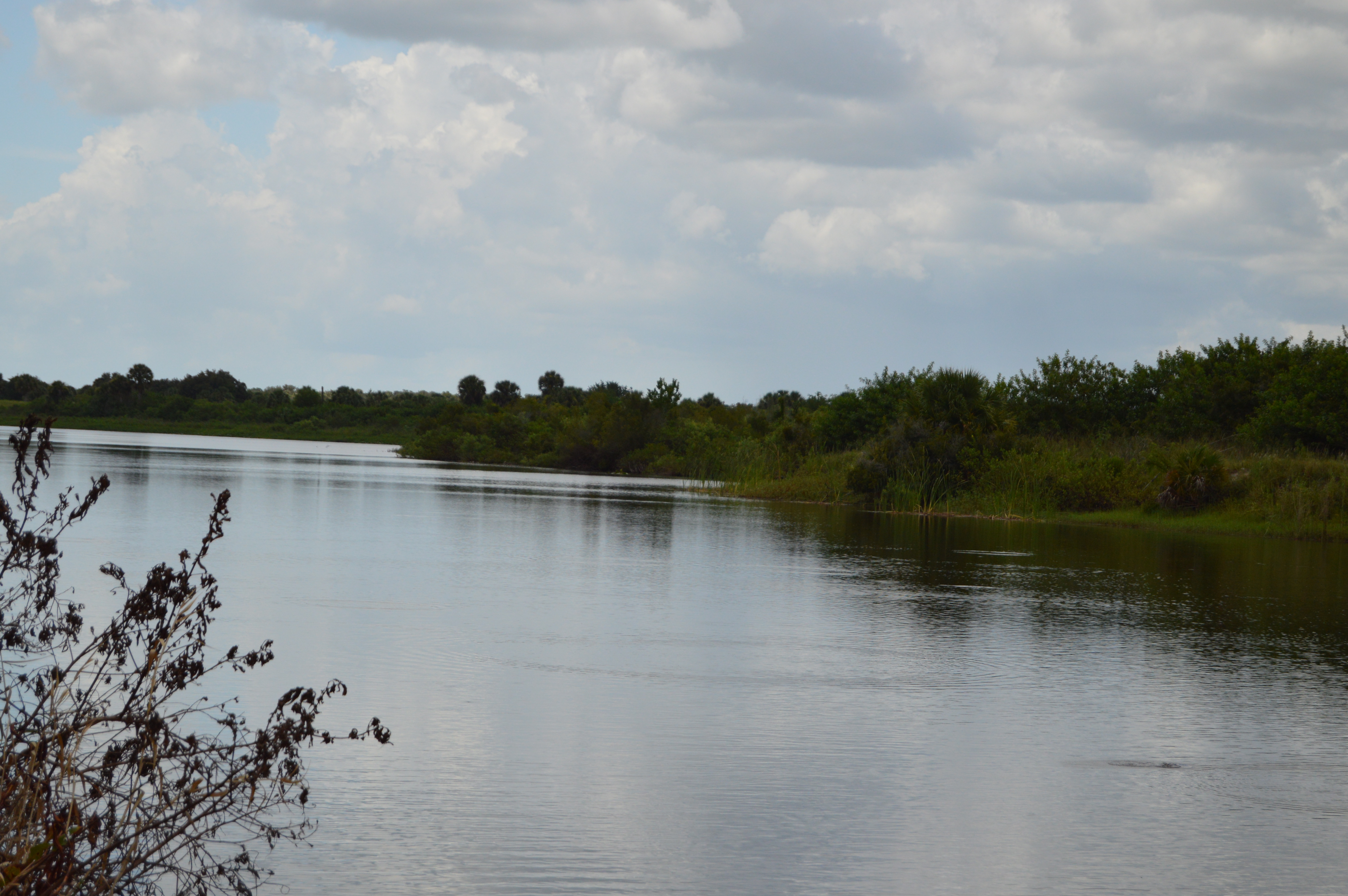
Every time I drove out there all I saw was this.

Kissimmee River at Basinger
and this

Kissimmee River looking north at Basinger
I was always whizzing through and I never took the time to stop and explore.
It took us a while to find what we were looking for.
http://www.sfwmd.gov/portal/page/portal/xweb%20protecting%20and%20restoring/kissimmee%20river
“The Kissimmee Basin encompasses more than two dozen lakes in the Kissimmee Chain of Lakes (KCOL), their tributary streams and associated marshes and the Kissimmee River and floodplain. The basin forms the headwaters of Lake Okeechobee and the Everglades; together they comprise the Kissimmee-Okeechobee-Everglades (KOE) system. In the 1960s, the Central and Southern Florida Flood Control (C&SF) Project modified the native KOE system extensively throughout South Florida, including construction of canals and water control structures to achieve flood control in the Upper and Lower Kissimmee basins.
Major initiatives in the Kissimmee Basin are the Kissimmee River Restoration Project (which includes Construction Projects), the Kissimmee River Restoration Evaluation Program, the Kissimmee Basin Modeling and Operations Study and the Kissimmee Chain of Lakes Long-Term Management Plan. A number of activities are associated with these projects, including ecosystem restoration, evaluation of restoration efforts, aquatic plant management, land management, water quality improvement and water supply planning.”
We ended up here.
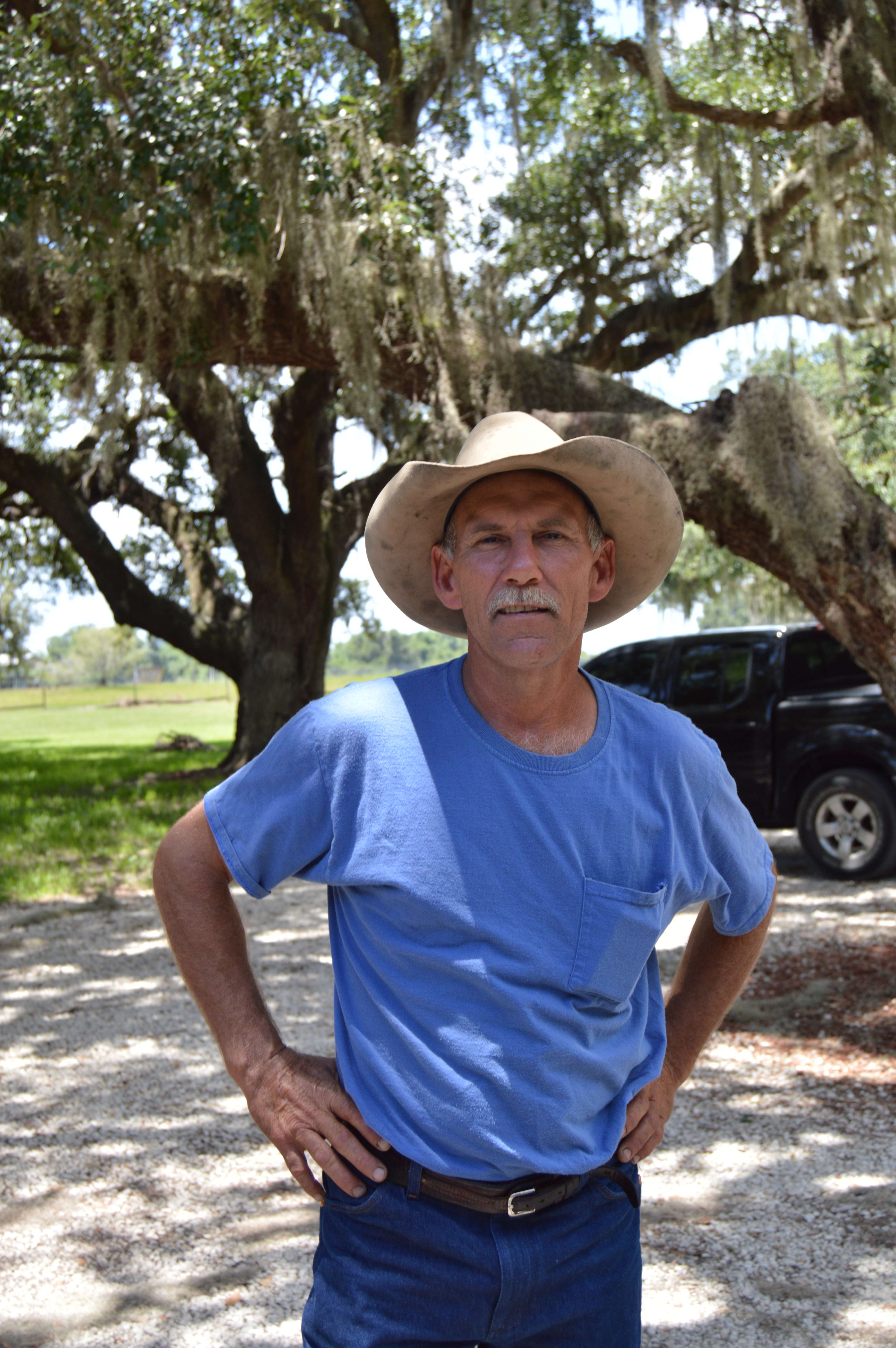
Whoops.
Then we ended up here .
It was one of those “It’s got to be here somewhere!”
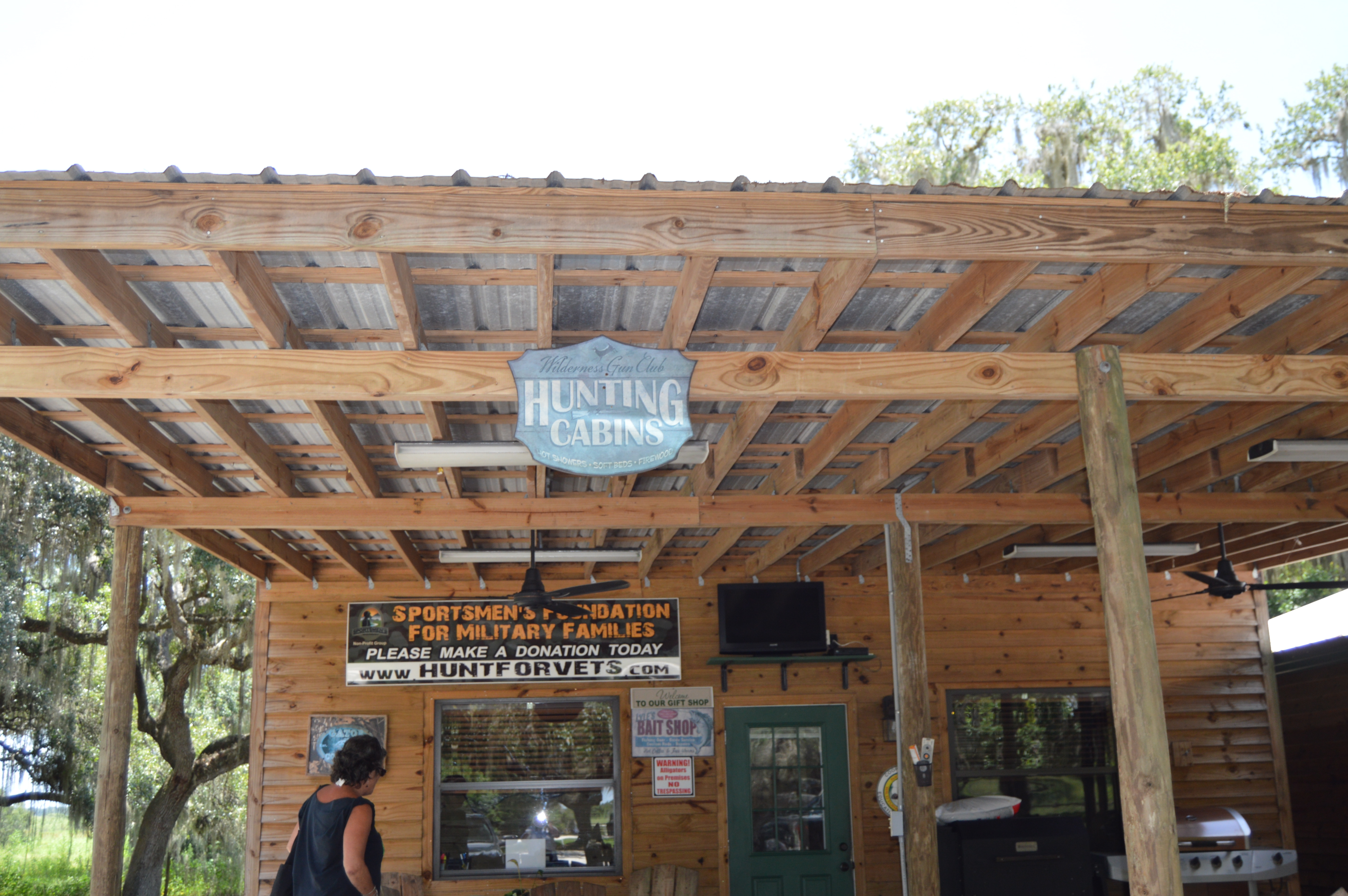
Then we found this
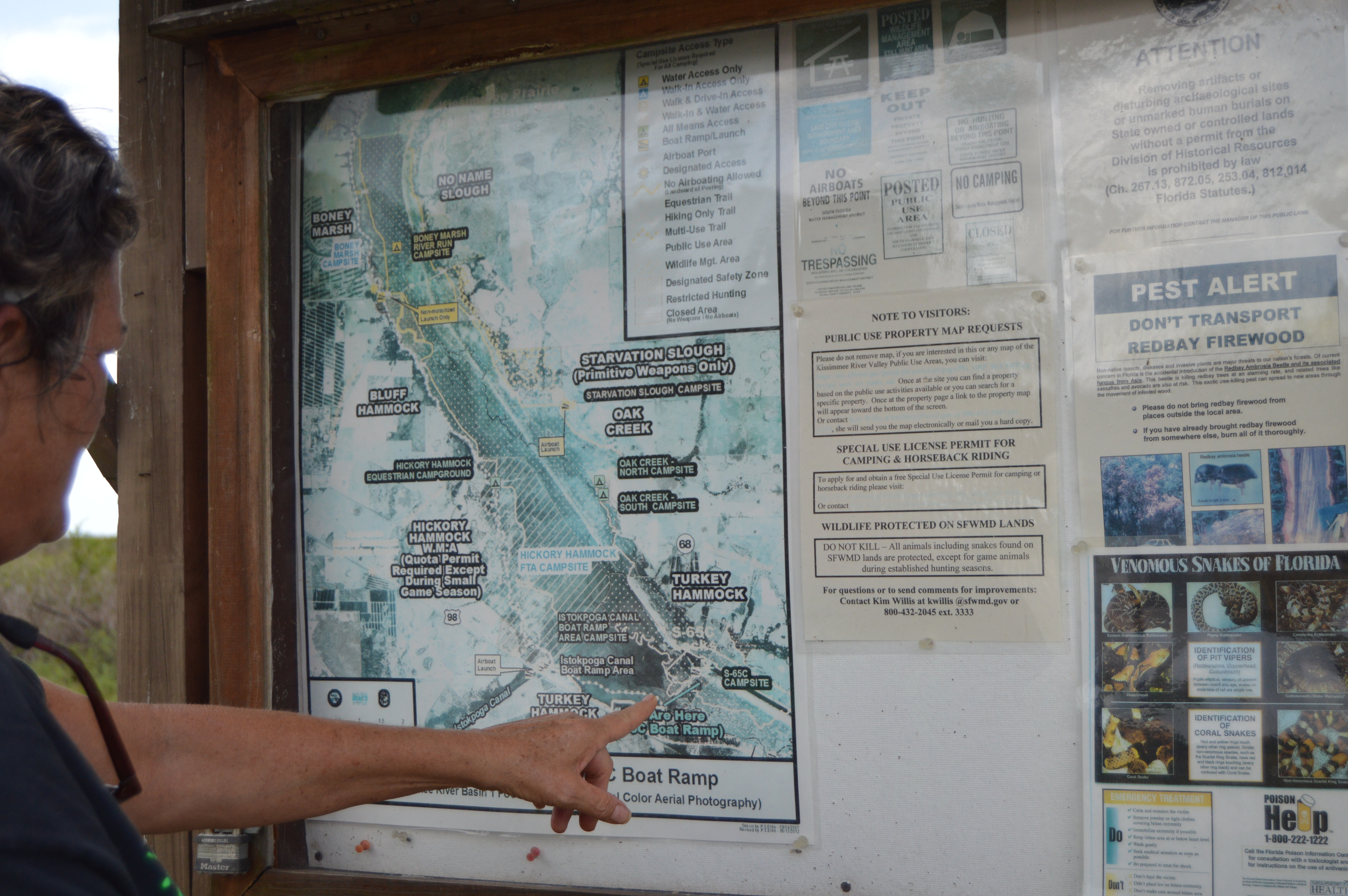
You are here!


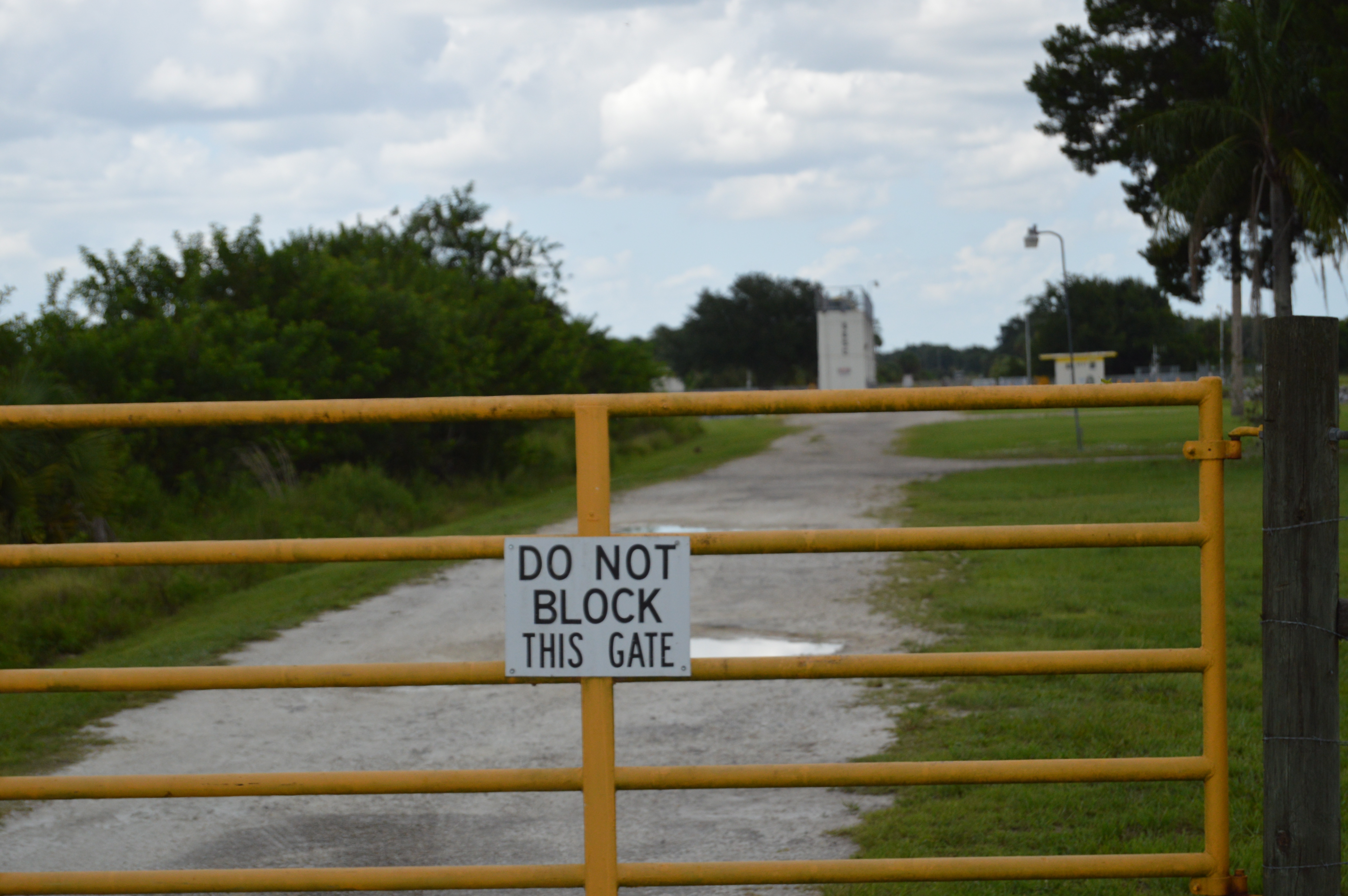
We were disappointed that you could not walk out on the lock.
and a little down the road heading south you can put in with your canoes or kayaks.
So this was great right!
http://www.protectingourwater.org/watersheds/map/kissimmee_river/
“The very northern end of the Kissimmee River Basin is primarily urban and includes a small portion of the city of Orlando, three large theme parks (Walt Disney World, SeaWorld, and Universal Studios), Orlando International Airport, and the cities of Kissimmee and St. Cloud. There are some pockets of residential development along the Lake Wales Ridge (in the cities of Lake Wales, Avon Park, Sebring, and Lake Placid) and a military installation (Avon Park Air Force Range). However, agricultural lands (citrus groves, cattle ranches, caladium fields, and sod farms) as well as wetlands and upland forests dominate the remainder of the Kissimmee River Basin and all of the Fisheating Creek Basin.”
So every time someone flushes a toilet at Mickey’s a seahorse dies in the Indian RIver Lagoon.
It was everything I imagined except for the lock part. If we have Locks that go down the river why do we need water storage and farming to hold the water back?
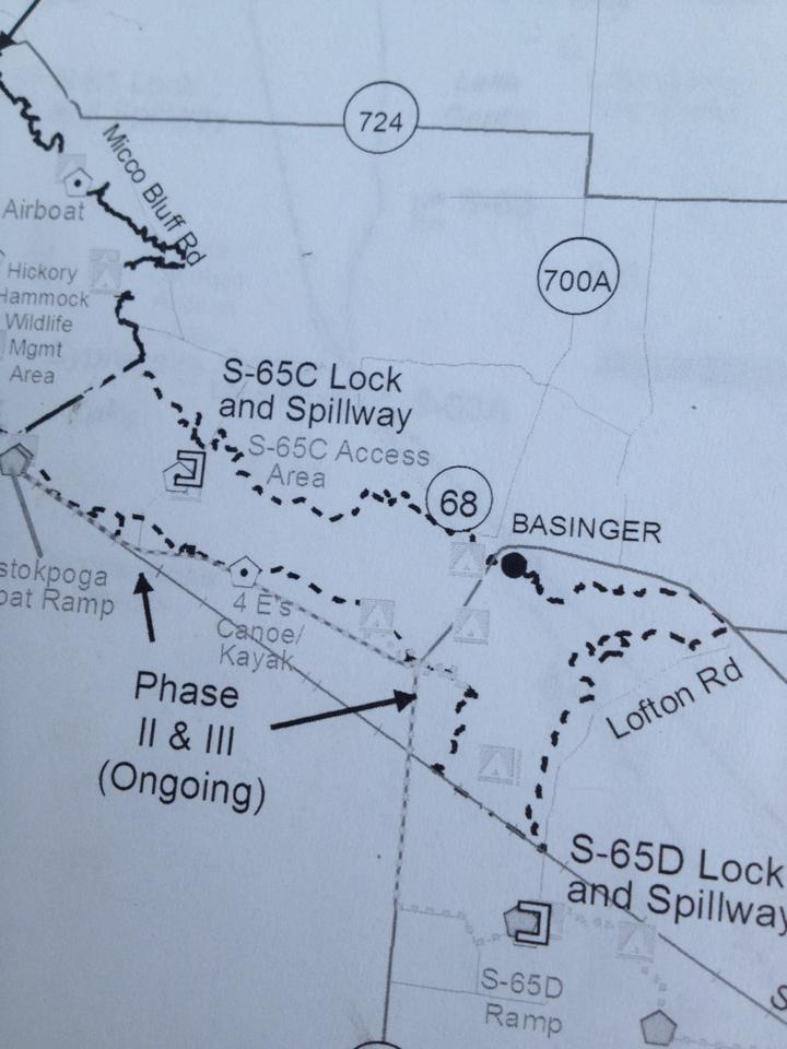
I tried to find a map but I couldn’t but I did find this. I found four locks.
Just as a reminder here is our great teacher Mark Perry telling us how important the restoration of the Kissimmee River is.
Shop Local. Support Local Business.
psych nurse, documentary filmmaker, photographer, crazed river warrior of the Indian River Lagoon.
Disaster management, climate change research, data and stats
A daily selection of the best content published on WordPress, collected for you by humans who love to read.
Building new custom homes in Sarasota and Manatee County
Musings of a wanderluster
Midwifing women all over the world!
Local information with a side of skepticism
In-depth Insight on Important Issues
Exclusively Marketing Vero Beach Since 1978
Tuesdays 5:00 p.m. AM 1450 WSTU
"Home of North America's favourite gay lumberjack"
Just another WordPress.com site
This site celebrates Phil Ochs. It acts as an archive of his songs.
Your Community News Magazine
